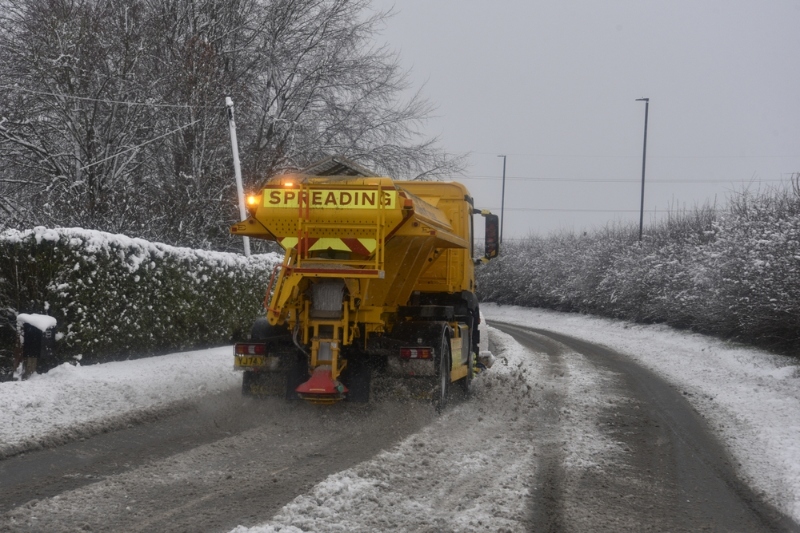
Lancashire County Council has launched a new map that enables residents to track the location of the local authority’s gritters.
The map includes the council’s 47 gritting routes, as well as revealing the live location of each vehicle and its name.
According to the council, the tool highlights areas that have been treated within an 18-hour period, allowing residents to view which parts of the 1,800-mile priority road network crews have covered.
In a statement last week, the council said that ‘gritting has been carried out daily during the current spell of freezing weather, with crews treating priority routes across the county since Christmas’.
While 150 drivers are qualified to complete winter road maintenance work in the region, the process can be drawn out during ‘during severe or prolonged winter weather’, the council has confirmed.
Cllr Warren Goldsworthy, cabinet member for highways and transport, said: ‘The map gives people a clearer picture of what’s happening on the road network during winter weather, showing where gritting is taking place and which routes have already been treated.
‘Even after gritting, roads can remain icy in very low temperatures. Traffic is needed to help the salt work, which is why treated roads may still feel slippery at times.’
Sign up here to receive our free weekly news bulletin and quarterly e-book.